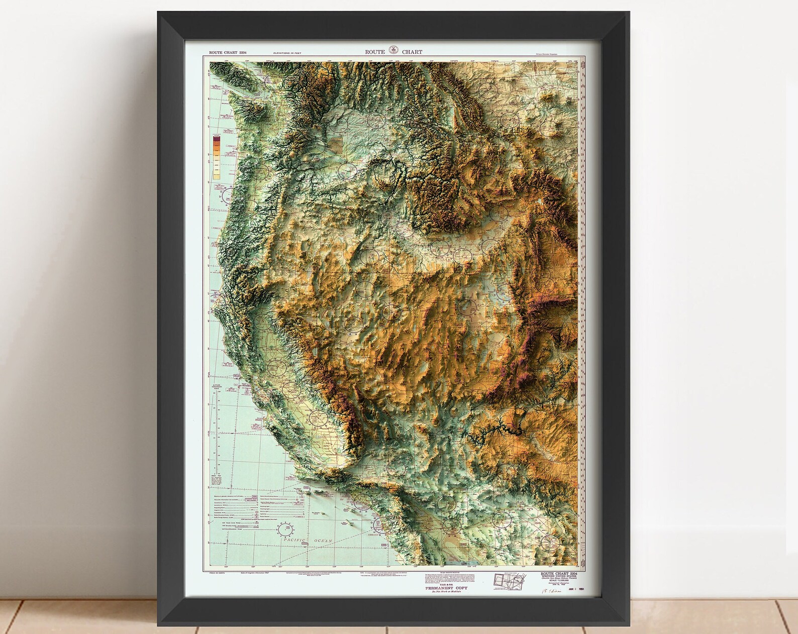

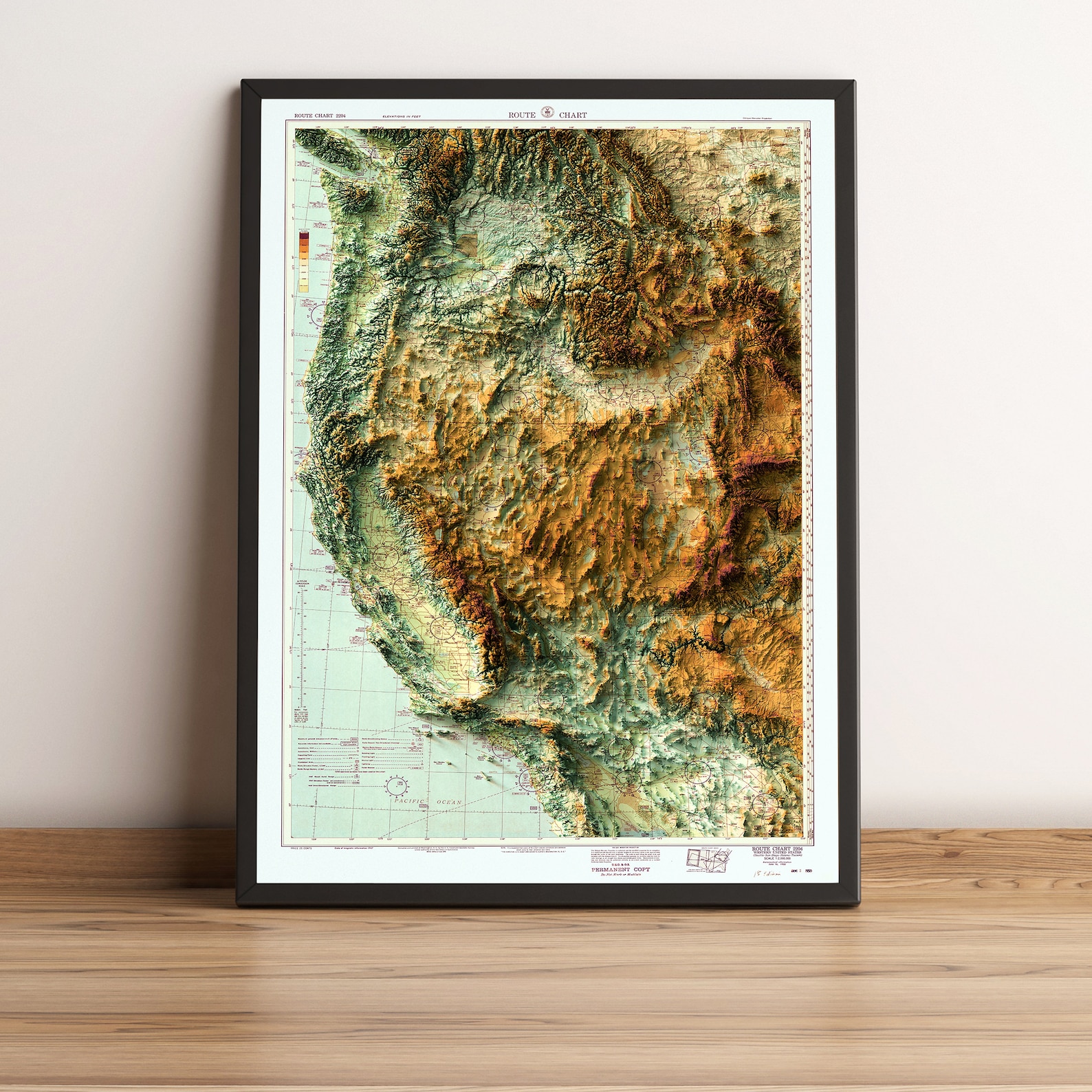
Western United States 1950 Relief Route Chart Vintage Map Poster
A 1950 aerial route chart of the western United States in 3D relief. Rugged vintage terrain cartography.
Description
This 1950 route chart of the western United States renders the region in sculpted brown and green terrain, from the Pacific coast to the Rockies. Period aviation chart markings edge the detailed topography. A distinctive piece for offices, aviation fans and collectors of western Americana.