
Roman Empire Map Poster, Ancient Rome Provinces
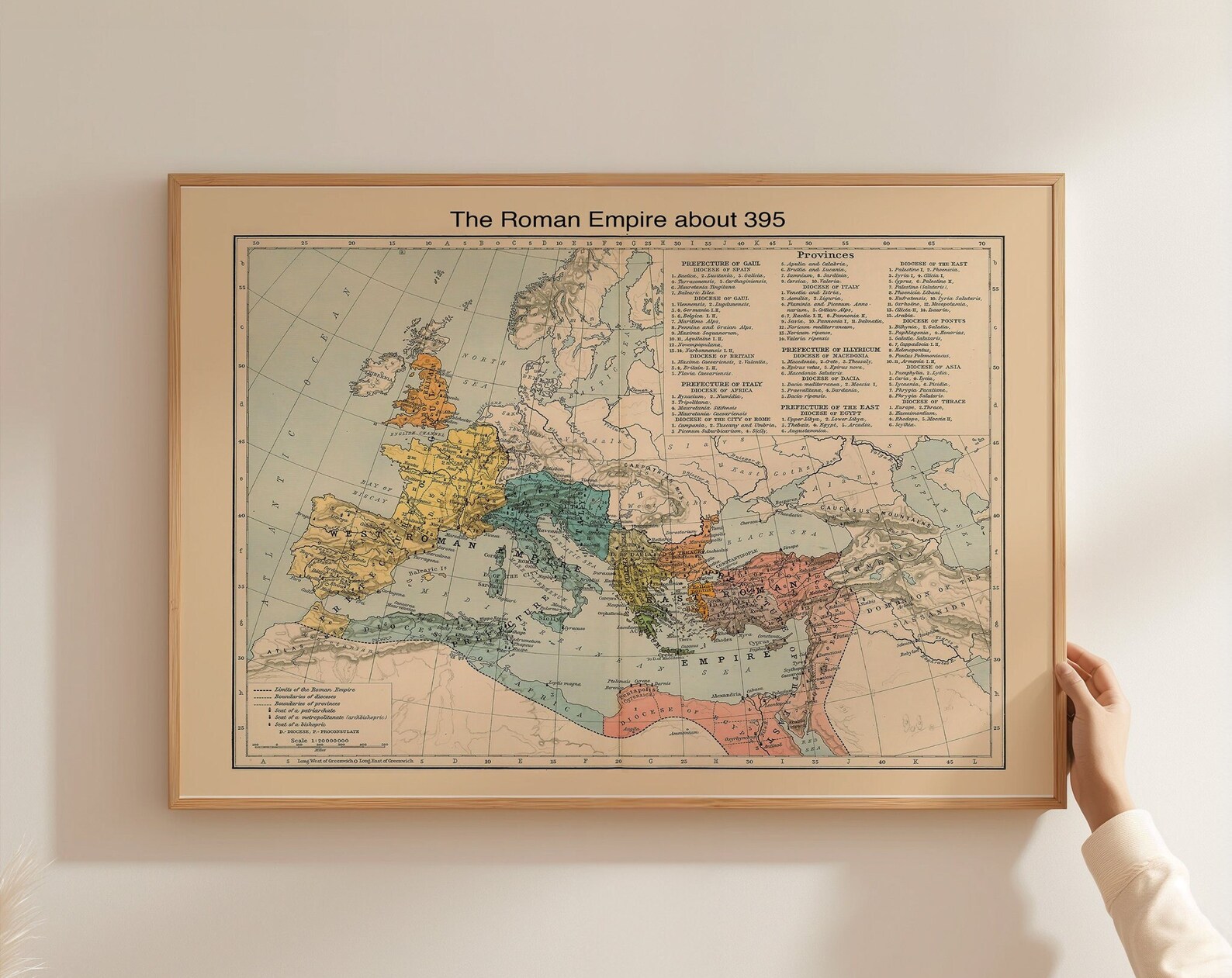
A historical map of the Roman Empire and its provinces circa 395 AD, rendered as classic wall art.
Description
A historical map of the Roman Empire and its provinces circa 395 AD gives the subject a clear, antique-minded presence. The focus stays on ancient Rome and its wider reach, with a study-like feel that suits anyone drawn to history and cartography.
A study, office, library, or hallway wall can all make room for this kind of map, especially in decor that leans traditional or scholarly. Framing it in a simple wood or black frame keeps the look grounded and easy to coordinate.
History buffs, teachers, students, and travellers with an interest in the ancient world will appreciate its clear reference point. It also makes a thoughtful housewarming or birthday choice for someone who enjoys maps with a strong sense of place and time.
Materials & Sizes
Premium Matte Paper
- Finish: Matte, smooth, non-reflective.
- Weight: 200 gsm (80 lb), 0.26 mm thick.
- Paper: FSC-certified or equivalent.

Canvas
- Material: Cotton-polyester blend (300–350 gsm) on FSC-certified wood stretcher bars.
- Depth: Slim (2 cm) or thick (4 cm).
- Hanging kit: Included (varies by country).

Wooden Framed Poster
- Frame: Pine wood in black, white, natural or dark brown; 20–25 mm deep, 10–14 mm wide.
- Paper: 170 gsm (65 lb) semi-gloss, FSC-certified or equivalent.
- Front: Shatterproof plexiglass.
- Ready to hang: Hanging kit included.
 Every format comes in 5 sizes (inches for the US and Canada, centimeters elsewhere),printed on demand with no minimum order.