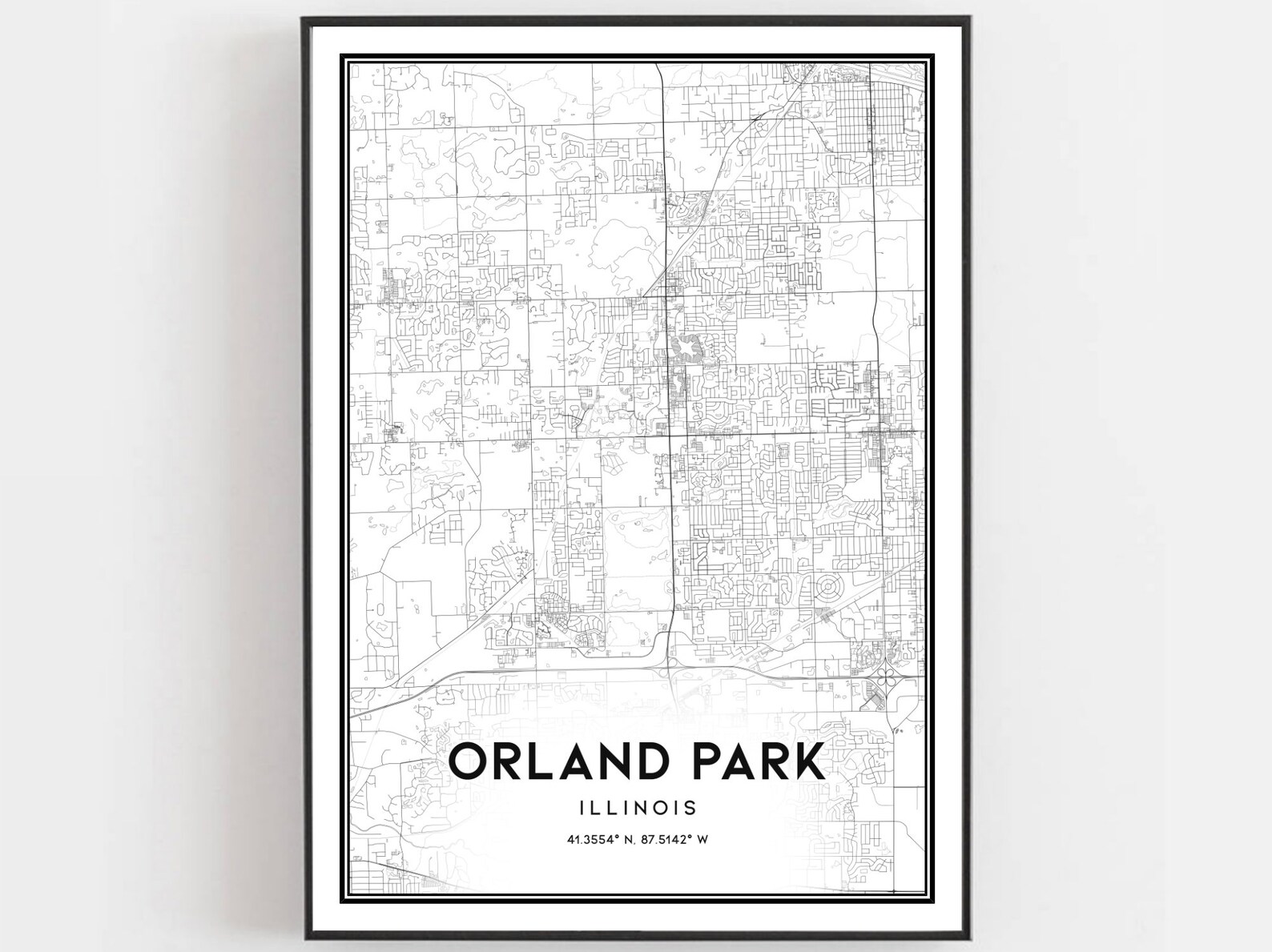
Orland Park Map Print, Illinois Street Decor
This Orland Park, Illinois street map print adds local geography to a living room wall or home study.
Description
This street map art print features the road network and community grid of Orland Park, Illinois. It presents a clear geographic overview for residents and locals connected to the south suburban village.
Paired with dark wood shelving and clean desk accessories, a black frame keeps the street grid sharp in a home study. It works equally well beside framed family photographs along a main hallway.
For runners and cyclists who log miles across local roads, this map marks familiar neighborhood turns and everyday routes through town.