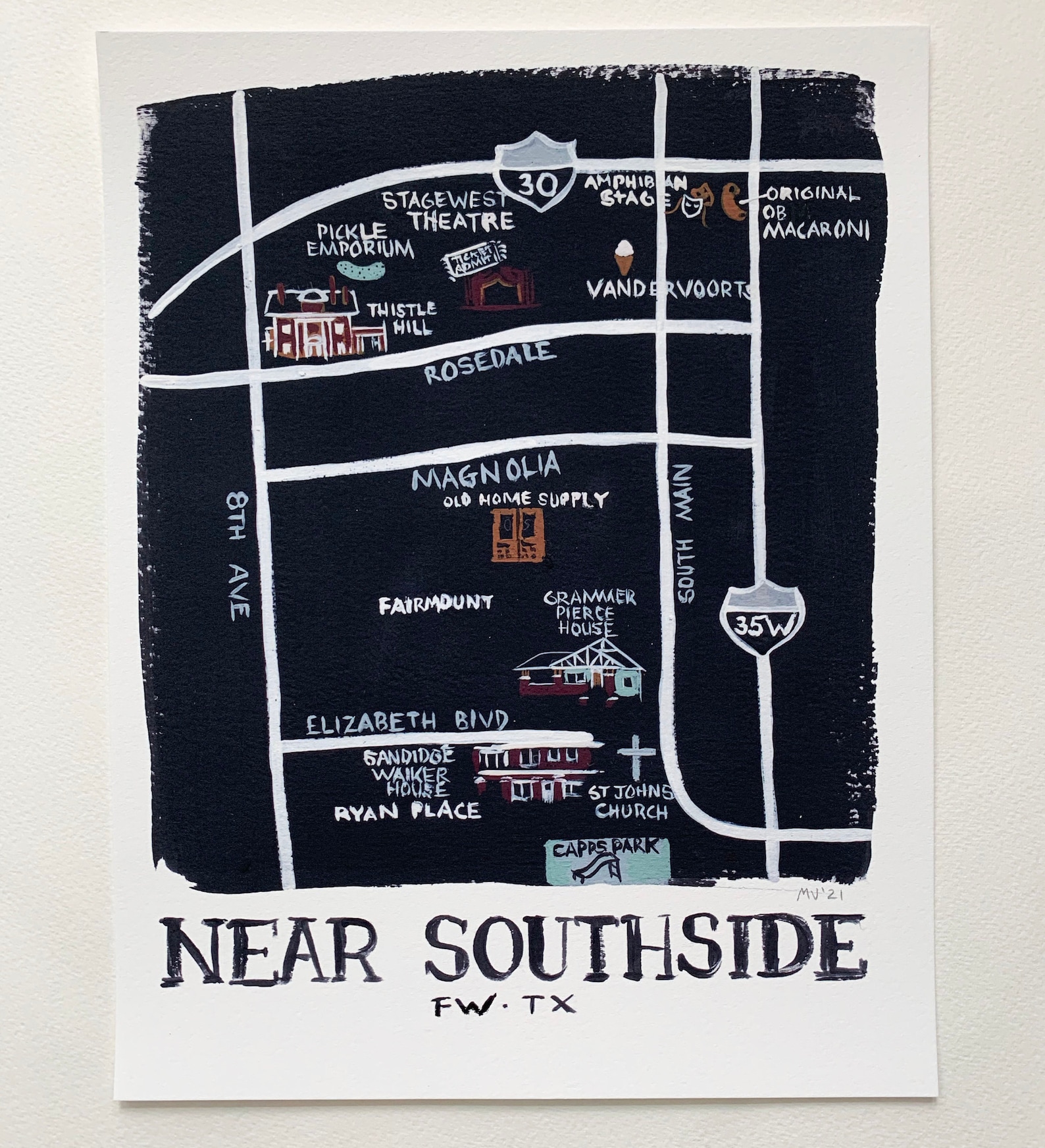
Near Southside Fort Worth Texas Illustrated Neighborhood Map Poster
A hand-drawn black-and-white map of Fort Worth’s Near Southside with its theaters, museums, and parks. Local pride on the wall.
Description
This illustrated map charts the Near Southside of Fort Worth, Texas, labeling Stage West Theatre, Thistle Hill, Magnolia, Fairmount, Ryan Place, and Capps Park, with highways 30 and 35W as guides. The bold hand-drawn style suits a home office, entryway, or a Fort Worth local's gallery wall.