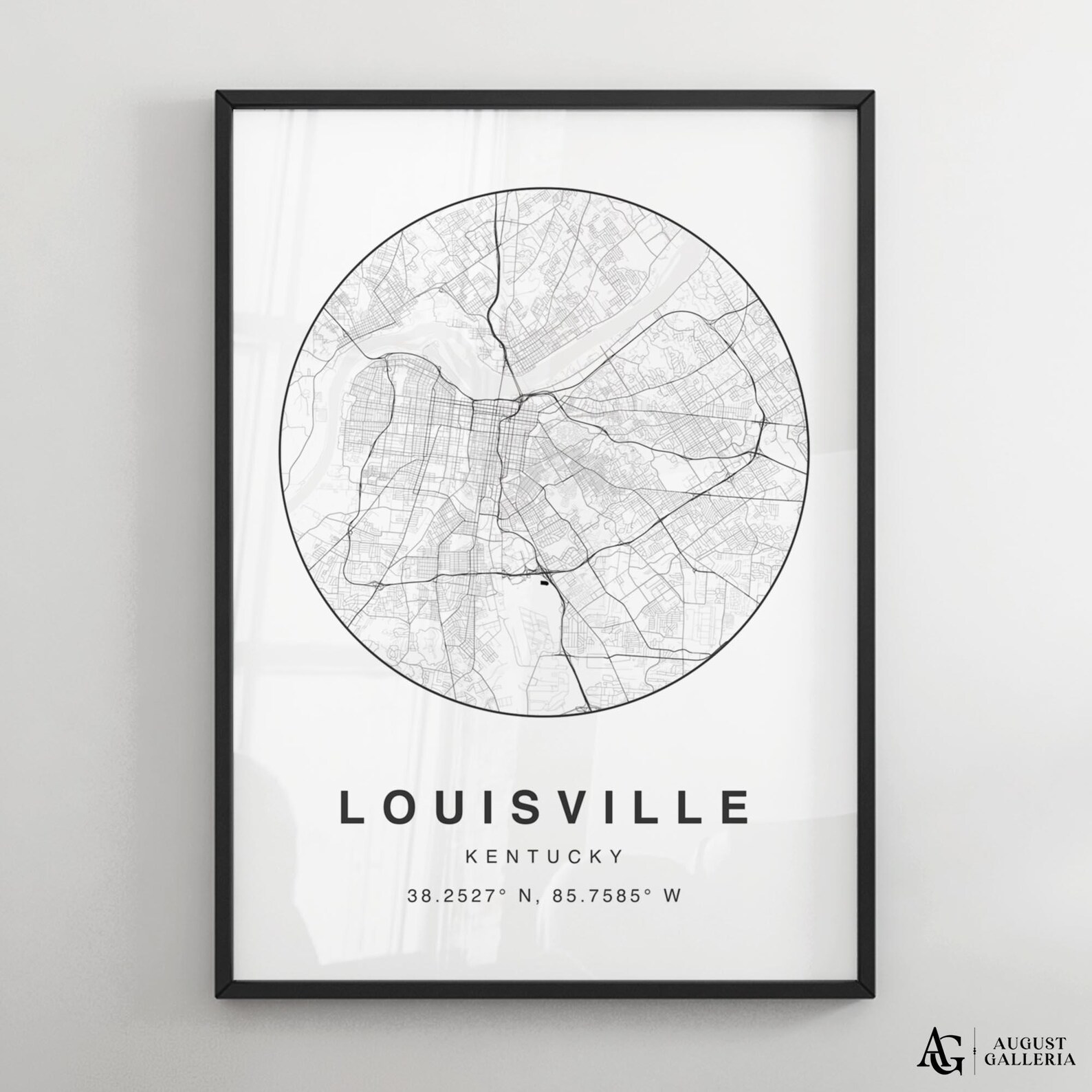
Louisville Kentucky Circular City Map Minimalist Black White Poster
A circular black-and-white street map of Louisville, Kentucky, with the city name and coordinates below. Derby-city cartographic art.
Description
This Louisville poster presents Kentucky's largest city in a circular line map, with the Ohio River along its northern edge. Beneath the map, LOUISVILLE, KENTUCKY, and the coordinates 38.2527° N, 85.7585° W appear in clean type. The minimalist black-and-white design fits modern homes and makes a fine hometown gift.