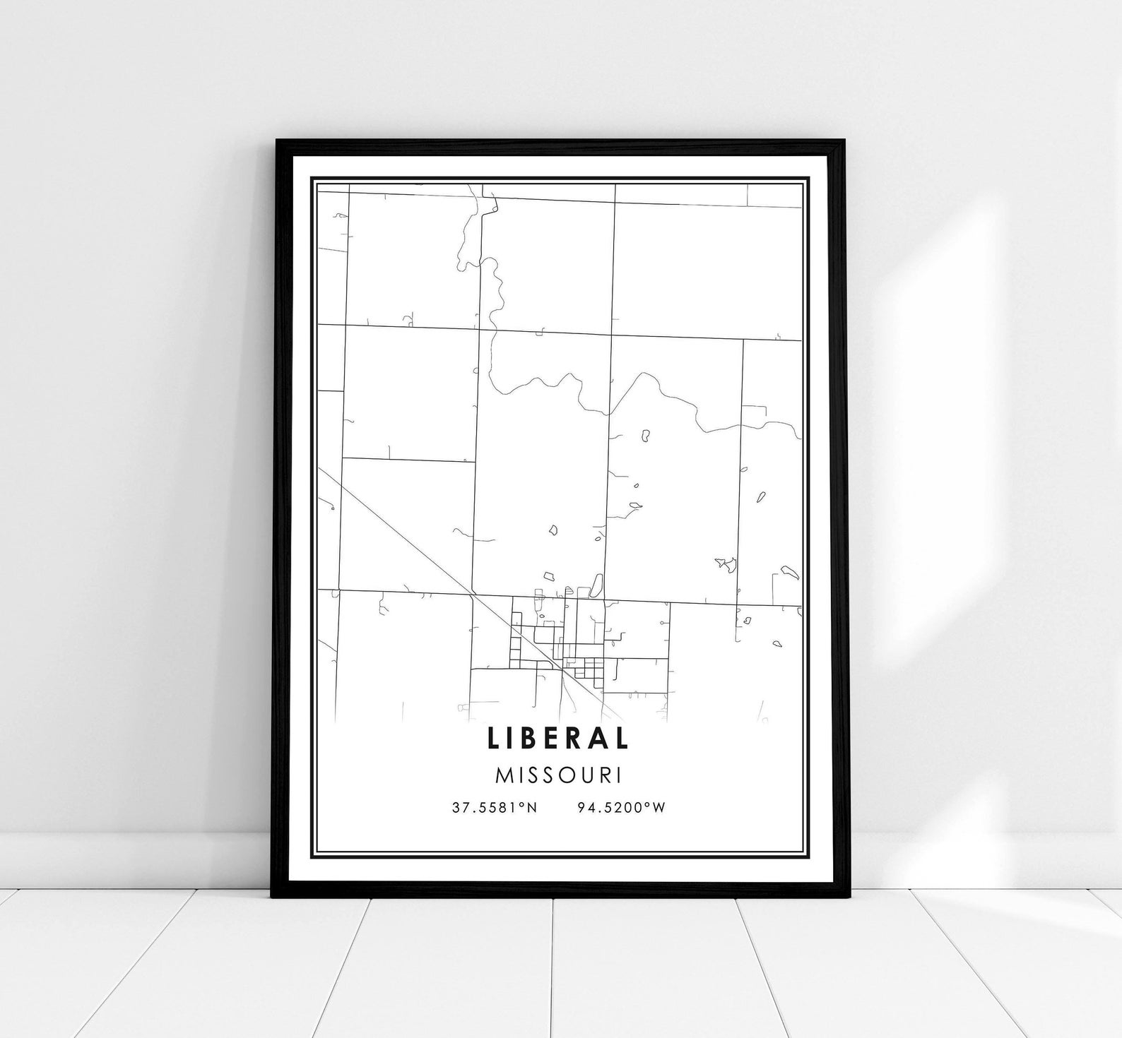
Liberal Missouri Town Street Map With Coordinates Wall Poster
A minimalist black-and-white street map of Liberal, Missouri, with coordinates 37.5581°N 94.5200°W. A personal gift for hometown pride.
Description
This clean city map print captures the streets of Liberal, Missouri, in simple black linework on white, labeled with the town name and coordinates 37.5581°N 94.5200°W. The understated modern design works in entryways, offices, and gallery walls. A heartfelt gift for Liberal natives, newcomers, and anyone celebrating small-town roots.