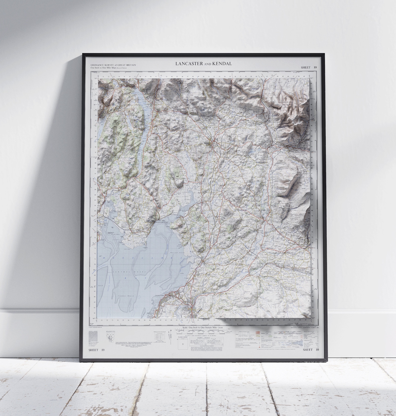
Lancaster and Kendal Ordnance Survey Vintage Map Sheet 89 Print
An original-style Ordnance Survey topographic map of Lancaster and Kendal, Sheet 89. A classic British map print.
Description
This vintage map print reproduces the Ordnance Survey Sheet 89 covering Lancaster and Kendal. Contour shading, roads, and waterways appear in the authentic style of classic British survey maps. A handsome piece for studies, hallways, and Lake District fans. A thoughtful gift for map lovers and walkers.