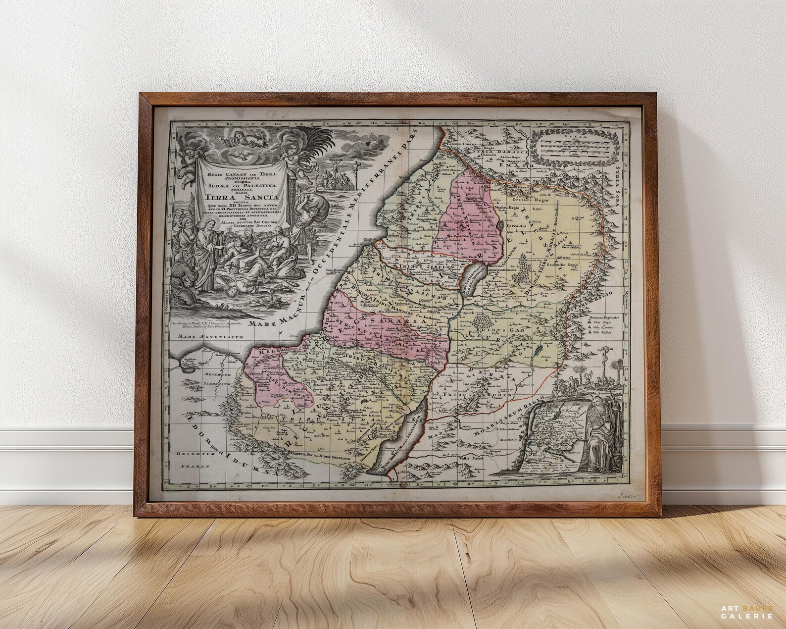
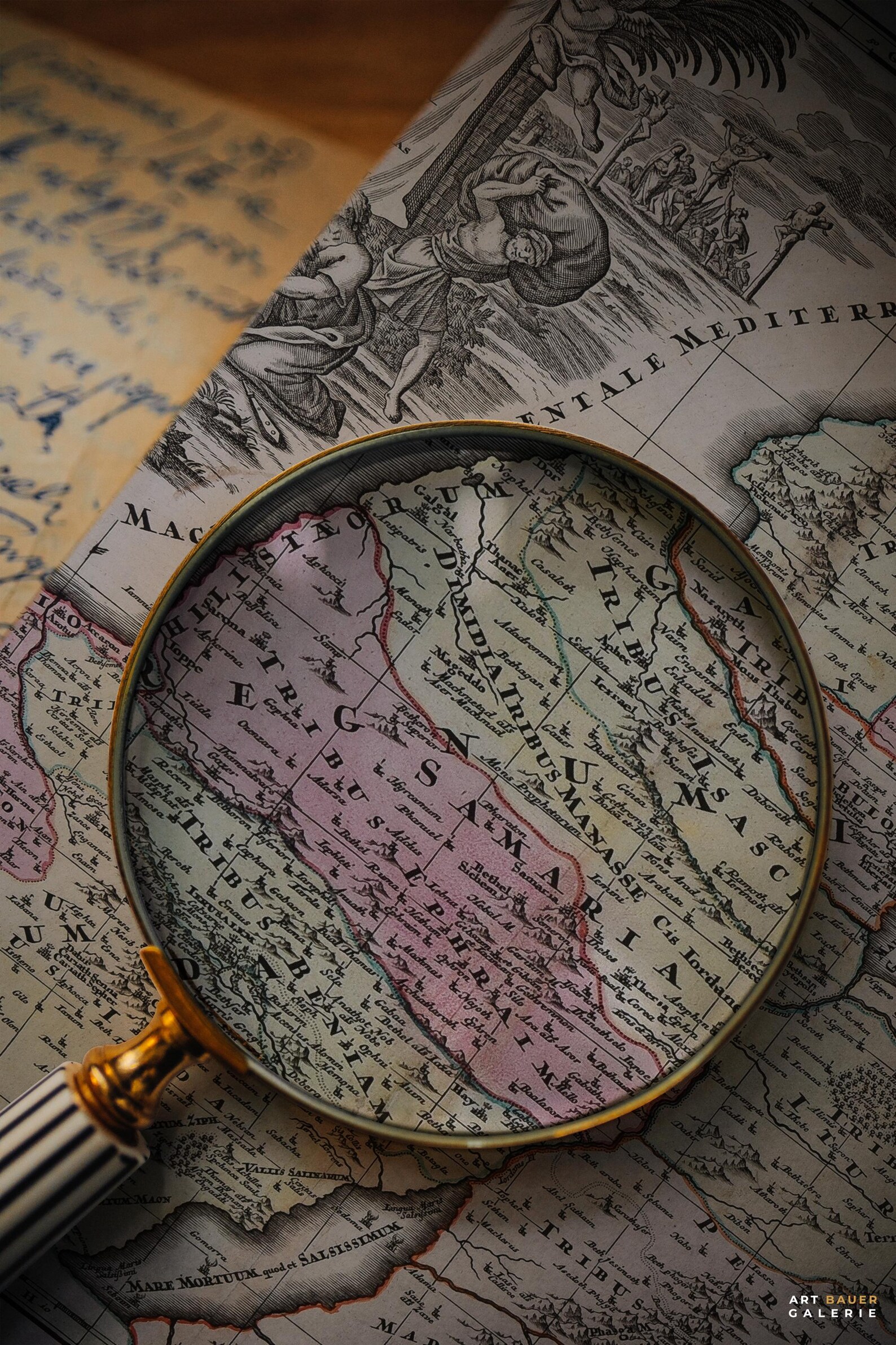
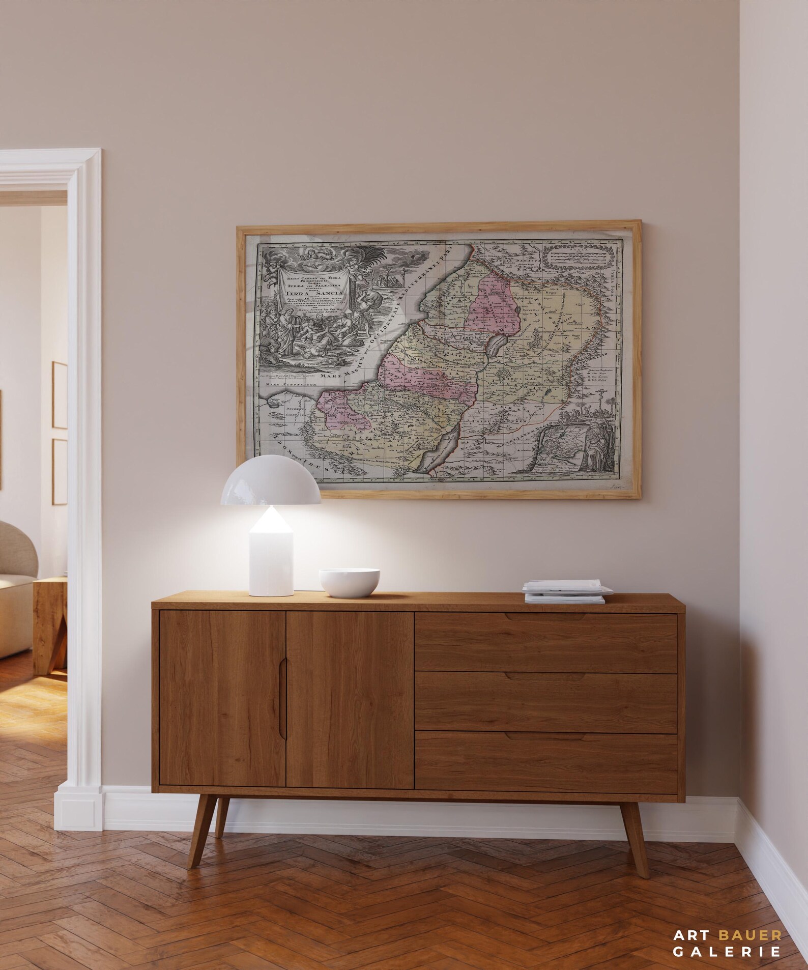

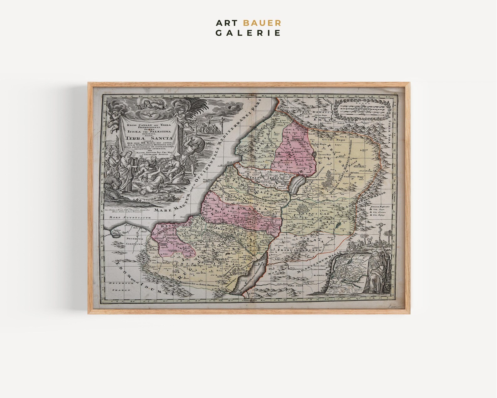
Holy Land Biblical Map 1730 Vintage Antique Terra Sancta Jerusalem Poster
An antique 1730 map of the Holy Land, hand-colored in soft pinks and yellows with a richly detailed biblical cartouche. A captivating piece for history and map lovers.
Description
This beautiful antique map of the Holy Land, in the style of John Speed's classic Terra Sancta cartography from around 1730, divides ancient Palestine into its twelve tribal regions with hand-colored borders. Cherubic cartouches and biblical scenes frame the geography in aged sepia tones. It makes a refined statement in a study, library, or hallway and a thoughtful gift for collectors of antique maps and religious history.