Custom Satellite Map With Enhanced Terrain And Roads
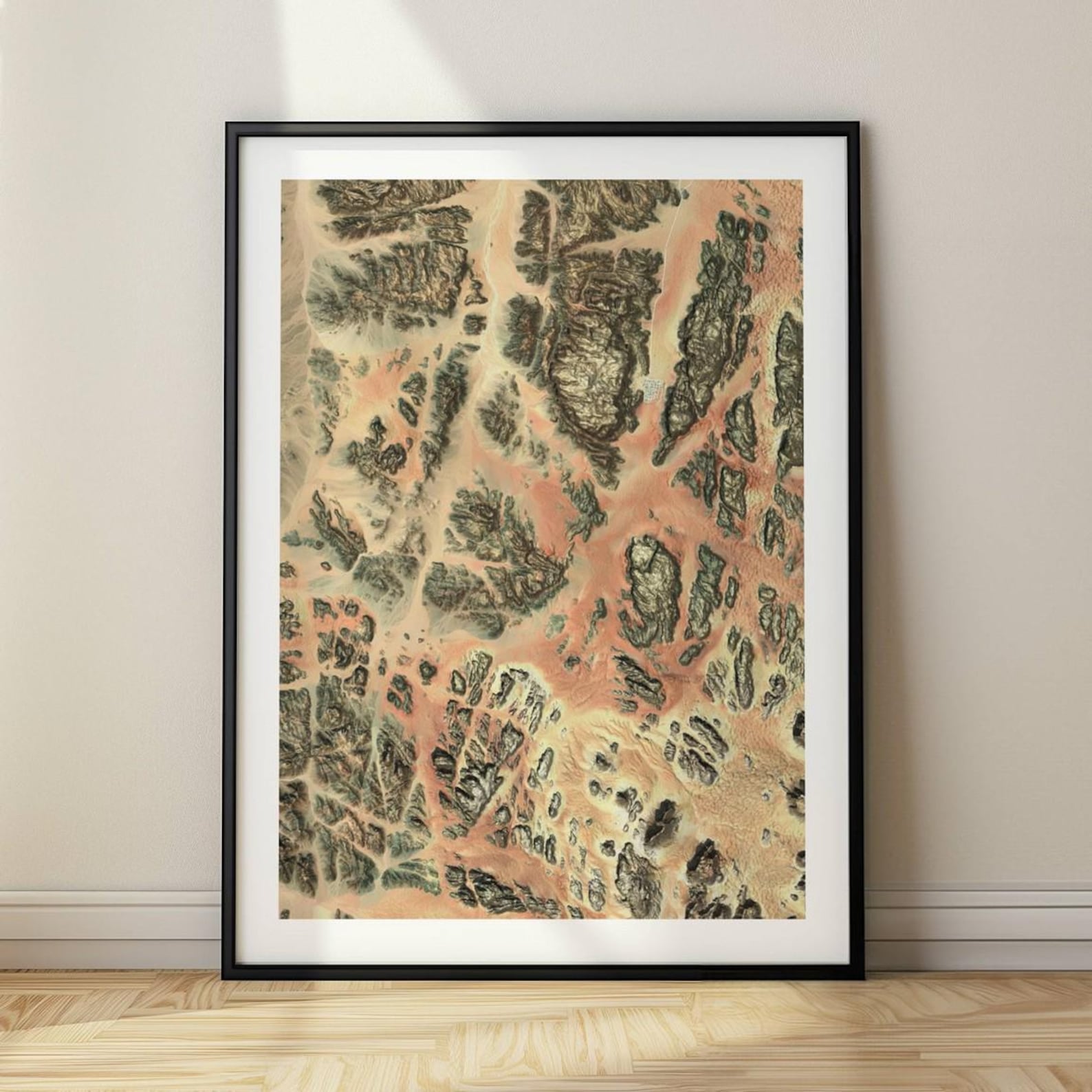
A detailed satellite map with enhanced terrain and roads, customized for any location in the world.
Description
This design combines satellite imagery with enhanced terrain and road detail to show any place on Earth in sharp relief. The buyer chooses the location before printing, making it a personalized map rather than a generic one. The satellite view reads as contemporary and precise without sacrificing visual interest.
Home offices and studies are the natural fit, hung above a desk or beside a globe. It also works in an entryway, a travel-themed bedroom, or anywhere a map of a meaningful place belongs. Frame it simply to let the geography speak.
Travel enthusiasts, remote workers, and people who want a map of somewhere they love or have lived will buy this. It suits a housewarming for someone moving to a new city, a gift marking a milestone trip, or a present for a friend whose wanderlust needs feeding.
Materials & Sizes
Premium Matte Paper
- Finish: Matte, smooth, non-reflective.
- Weight: 200 gsm (80 lb), 0.26 mm thick.
- Paper: FSC-certified or equivalent.

Canvas
- Material: Cotton-polyester blend (300–350 gsm) on FSC-certified wood stretcher bars.
- Depth: Slim (2 cm) or thick (4 cm).
- Hanging kit: Included (varies by country).

Wooden Framed Poster
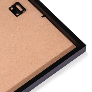
- Frame: Pine wood in black, white, natural or dark brown; 20–25 mm deep, 10–14 mm wide.
- Paper: 170 gsm (65 lb) semi-gloss, FSC-certified or equivalent.
- Front: Shatterproof plexiglass.
- Ready to hang: Hanging kit included.
 Every format comes in 5 sizes (inches for the US and Canada, centimeters elsewhere),printed on demand with no minimum order.