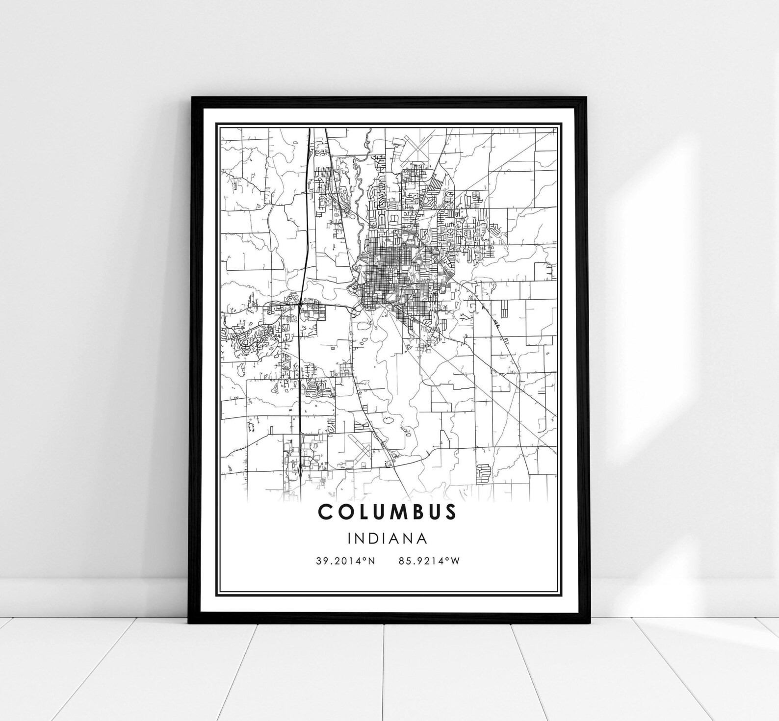
Columbus Indiana City Map With Coordinates Minimalist Street Plan Print
A crisp black-and-white street map of Columbus, Indiana, with its coordinates printed below. Clean, modern hometown wall art.
Description
This minimalist map print charts the streets of Columbus, Indiana in fine black linework on white, finished with the city's name and geographic coordinates (39.2014°N, 85.9214°W). Its understated design suits modern and Scandinavian interiors alike. A thoughtful gift for residents, former locals, or anyone with roots in Columbus.