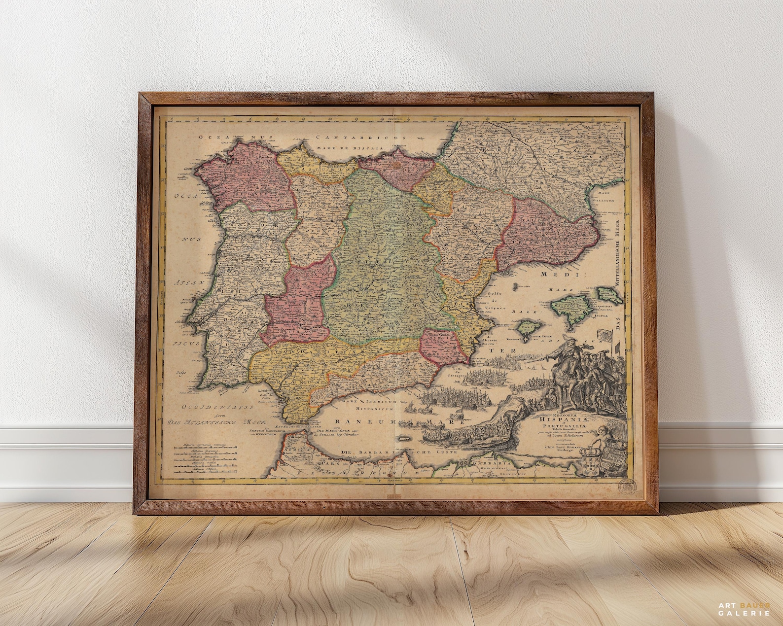

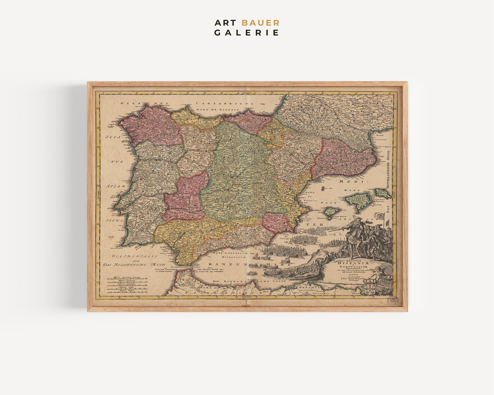
Christoph Weigel Antique Map Of Spain And Portugal 1720 Cartography Poster
Weigel’s 1720 hand-colored map of Spain and Portugal with ornate cartouche and sea battles. A cartographic treasure for map lovers.
Description
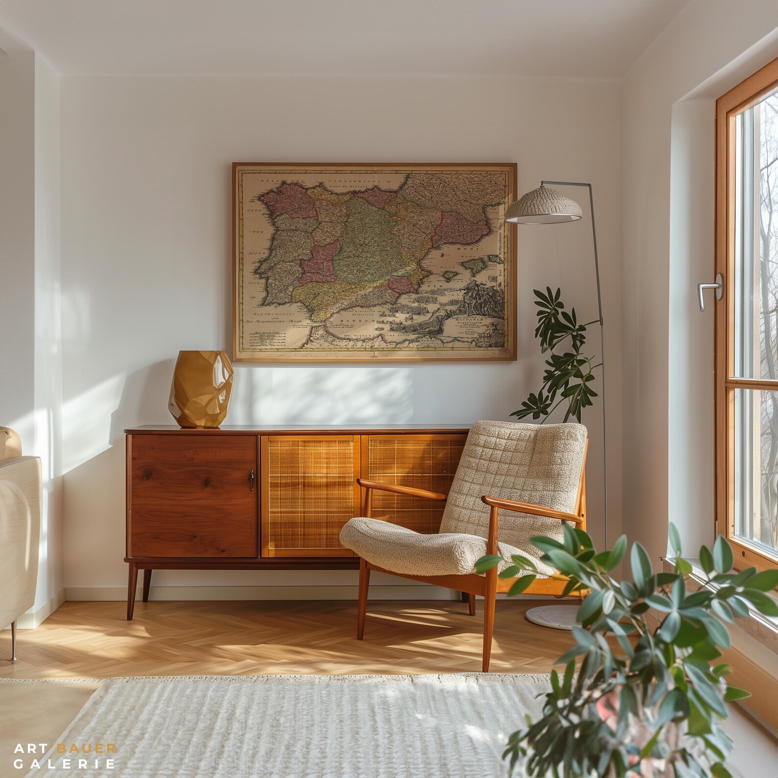
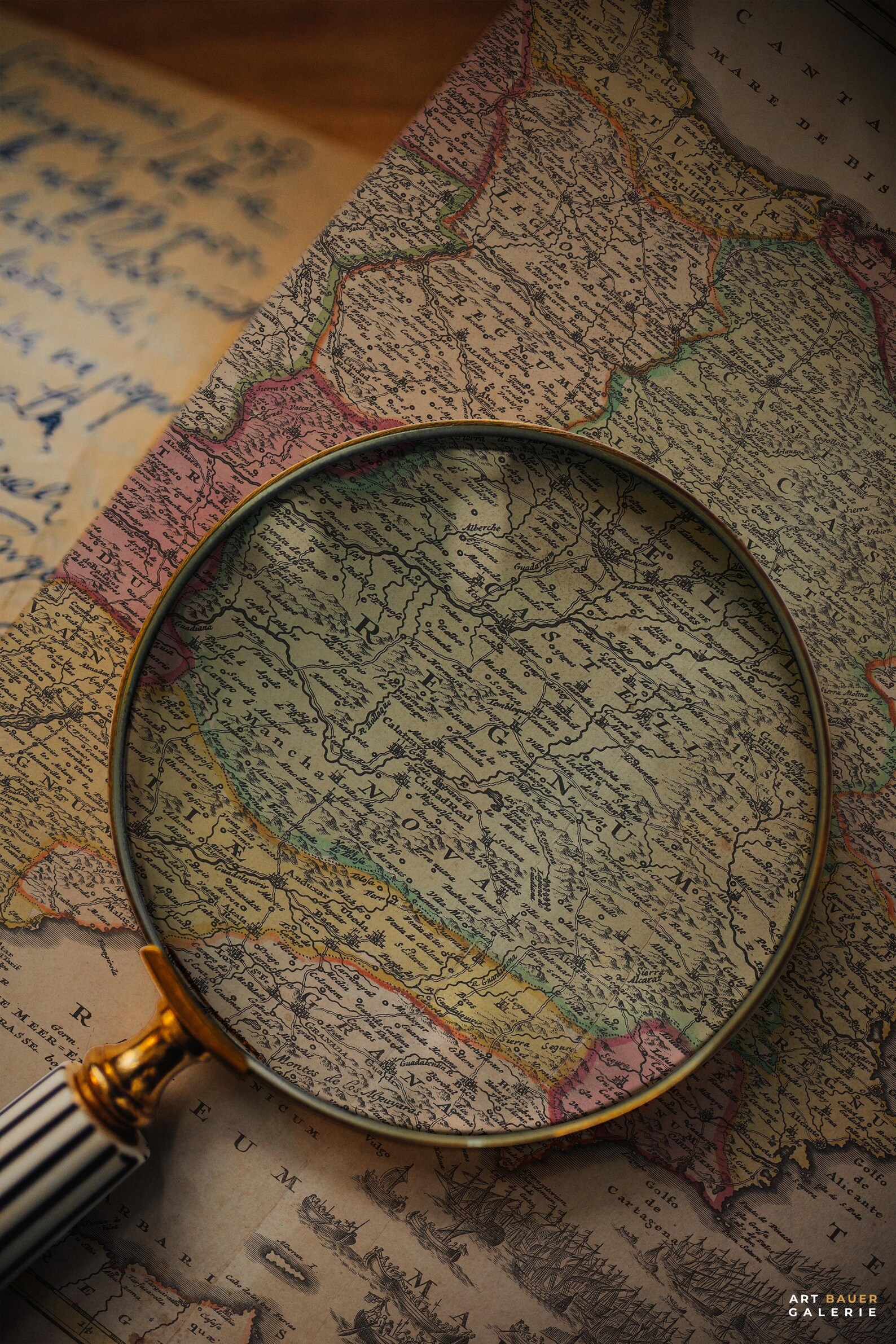
This reproduction of Christoph Weigel's early-18th-century 'Hispania' map shows the Iberian Peninsula in hand-colored regions, ringed by Latin place names, a decorative title cartouche, and naval vignettes along the coast. The aged paper tones add authentic antiquarian warmth. Stunning in studies, offices, and libraries, and a superb gift for travelers and geography enthusiasts.