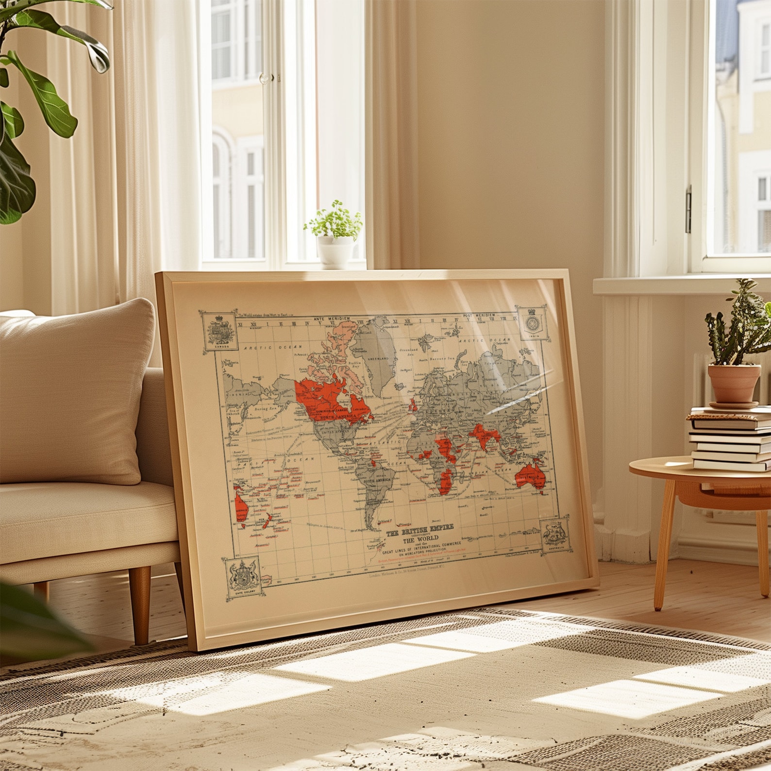
British Empire World Map, Historical Map Poster
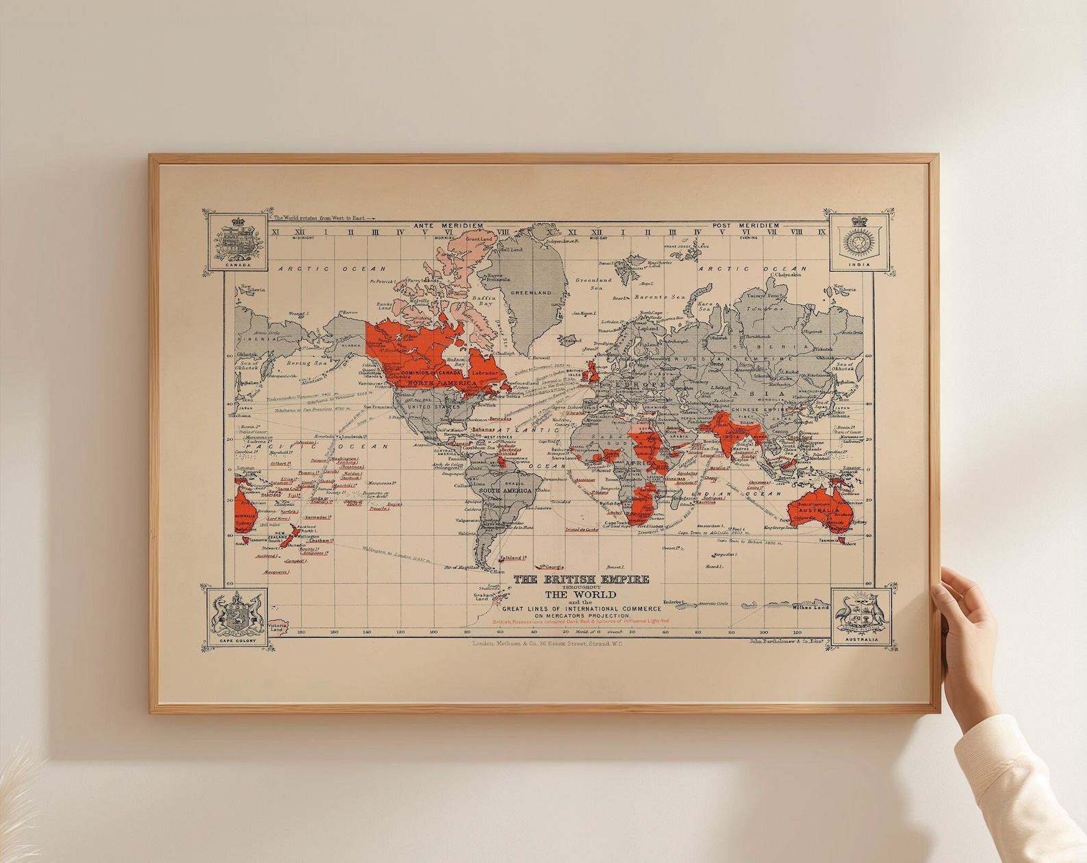
The British Empire world map poster presents a historical view that fits a study or hallway.
Description
This map shows the British Empire and its colonial territories in a historical world-map format. It suits rooms where you want a clear reference to past global borders.
Study walls are a strong place for it, especially above a desk or beside bookshelves. A natural wood frame can keep the look steady.
It makes a practical gift for a history graduate or a teacher who works with empire-era geography.
Materials & Sizes
Premium Matte Paper
- Finish: Matte, smooth, non-reflective.
- Weight: 200 gsm (80 lb), 0.26 mm thick.
- Paper: FSC-certified or equivalent.

Canvas
- Material: Cotton-polyester blend (300–350 gsm) on FSC-certified wood stretcher bars.
- Depth: Slim (2 cm) or thick (4 cm).
- Hanging kit: Included (varies by country).

Wooden Framed Poster
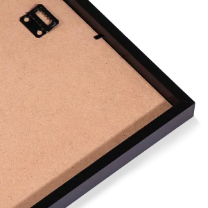
- Frame: Pine wood in black, white, natural or dark brown; 20–25 mm deep, 10–14 mm wide.
- Paper: 170 gsm (65 lb) semi-gloss, FSC-certified or equivalent.
- Front: Shatterproof plexiglass.
- Ready to hang: Hanging kit included.
 Every format comes in 5 sizes (inches for the US and Canada, centimeters elsewhere),printed on demand with no minimum order.