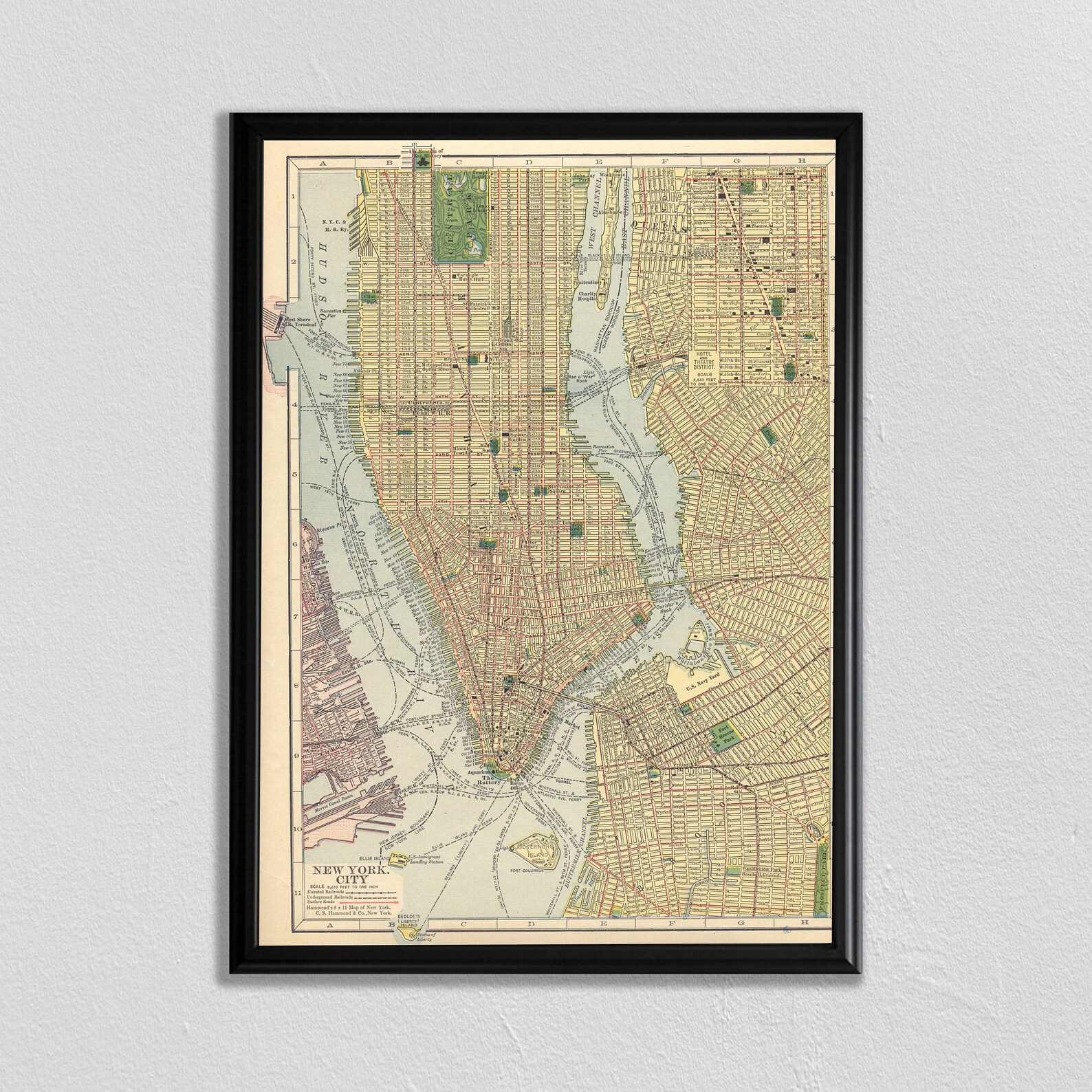
Antique New York City 1910 Manhattan Street Map Vintage Print
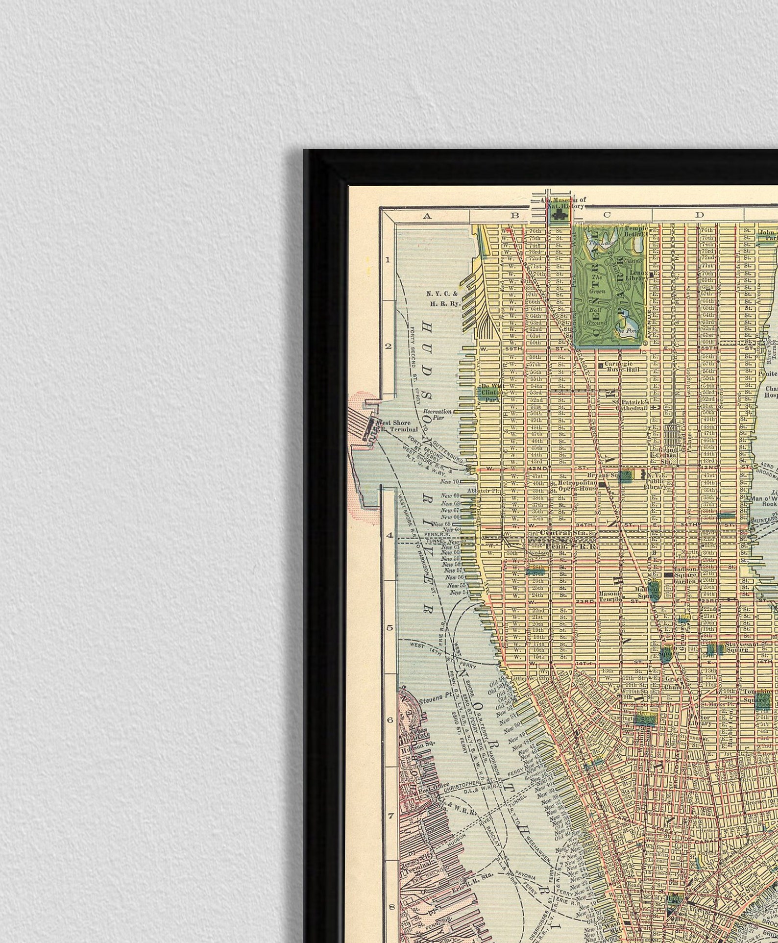
An antique 1910 street map of New York City, showing Manhattan and its boroughs in fine cartographic detail.
Description
Colored street grids, Central Park, the Hudson and East Rivers, and ferry routes fill this detailed city plan, lettered NEW YORK CITY. A handsome piece of urban history for an office, study, or New Yorker's home.