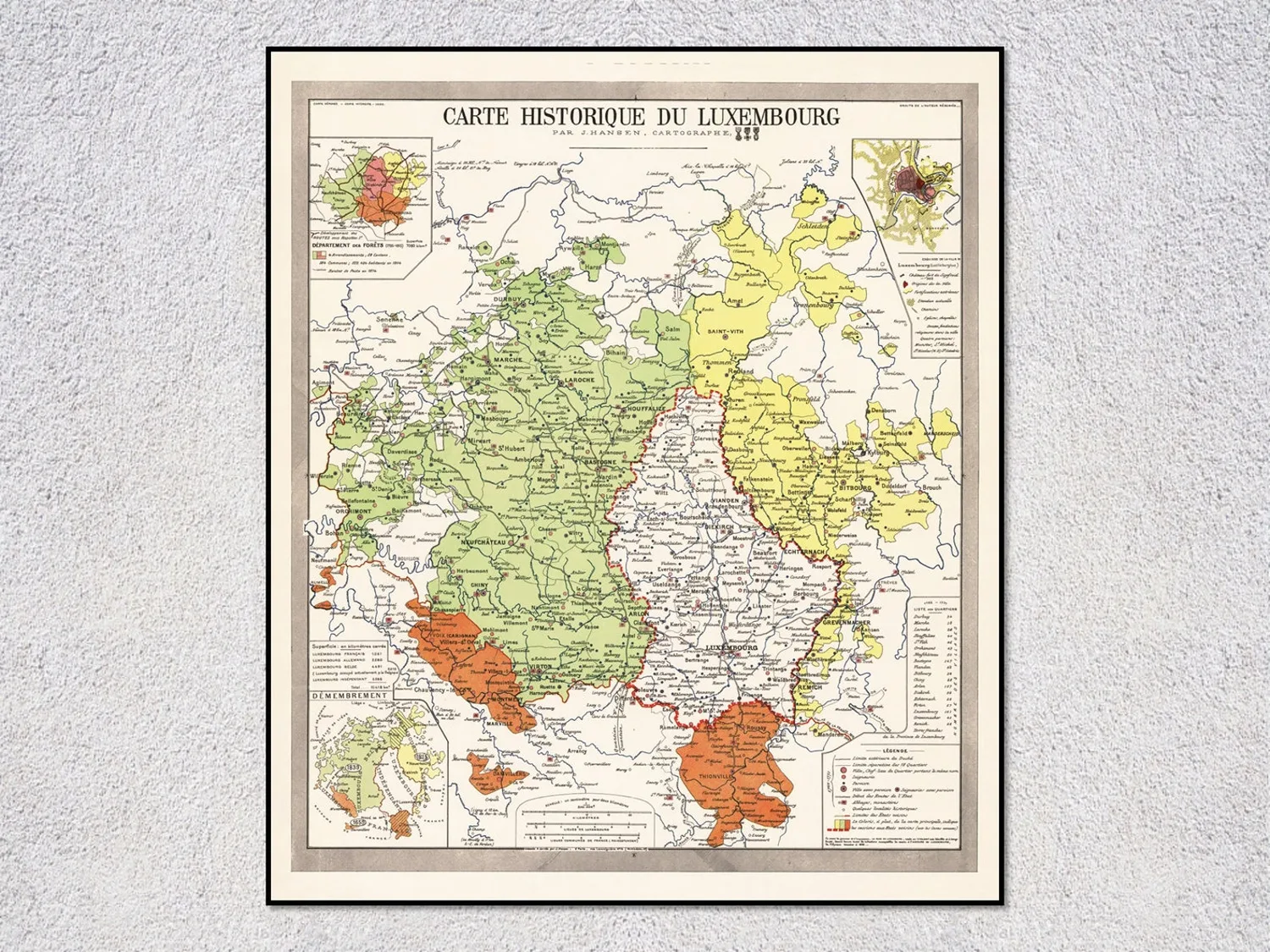
Map Of Luxembourg by Joseph Hansen, Historical Art Print
Joseph Hansen’s map of Luxembourg belongs in a study or hallway and fits a love of European cartography.
Description
Joseph Hansen’s map of Luxembourg presents a historical view of the duchy and its border with France. The piece combines place name, period context, and cartographic detail.
Lean it in a dark wood frame above a desk or group it with other European maps in a hallway.
It makes a practical gift for a history teacher or someone with a Luxembourg connection for a birthday or housewarming.