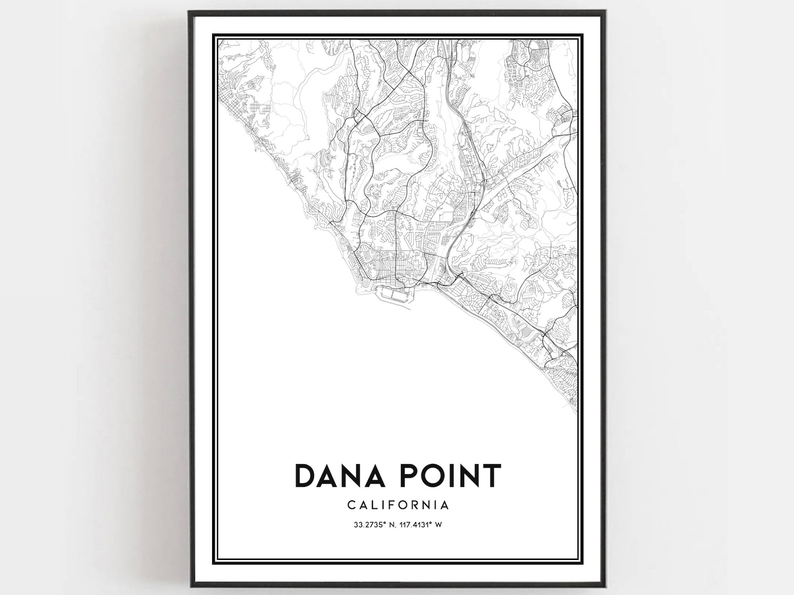
Dana Point California Coastal City Street Map Line Art Poster
A minimalist street map of Dana Point, California tracing its curving coastline. Surf town cartography in black and white.
Description
This city map poster depicts Dana Point, California in clean black lines with its distinctive shoreline. The city name, state, and coordinates at 33.2735 degrees north and 117.4131 degrees west appear below. A cool coastal gift for Orange County locals.