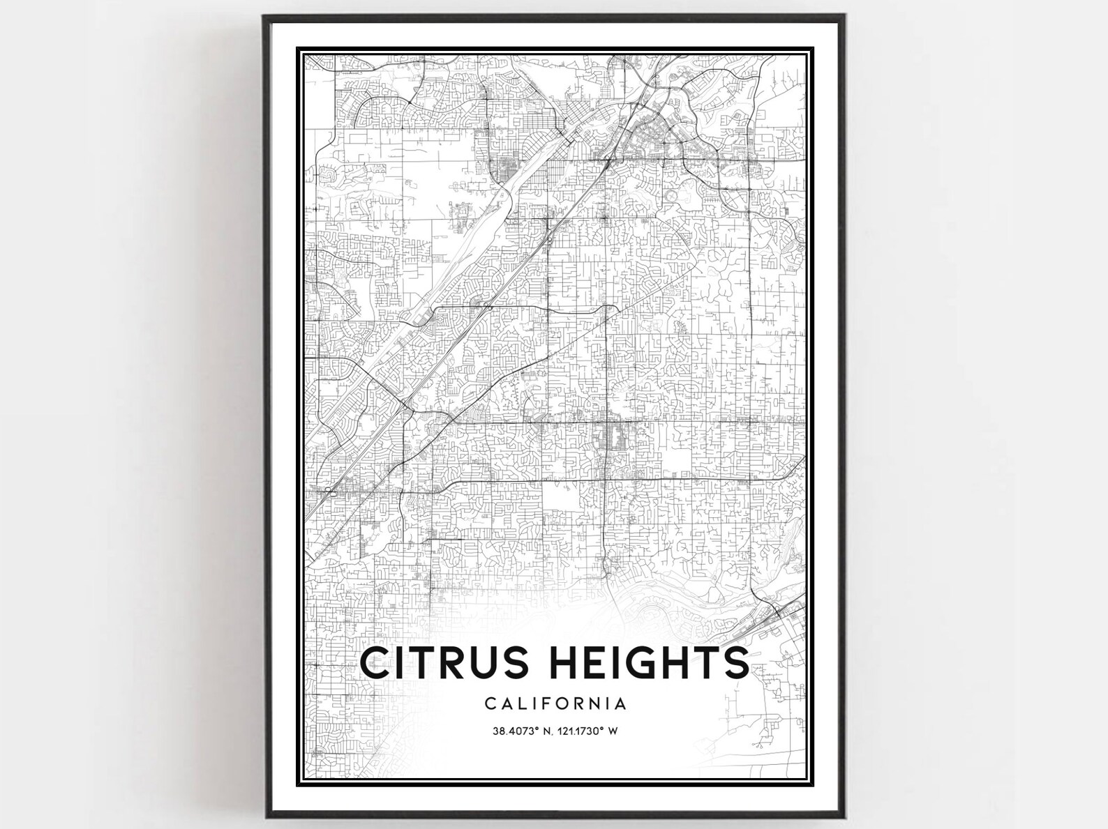
Citrus Heights California Street Map Coordinates Minimalist City Poster
A detailed black and white street map of Citrus Heights, California with coordinates beneath the name. A meaningful gift for locals and hometown fans.
Description
This minimalist street map poster traces every road of Citrus Heights, California in crisp black line work. The city name, state and coordinates (38.4073 degrees N, 121.1730 degrees W) are printed below the map. It makes a personal piece of wall art for current and former residents.